Tracking Elephants
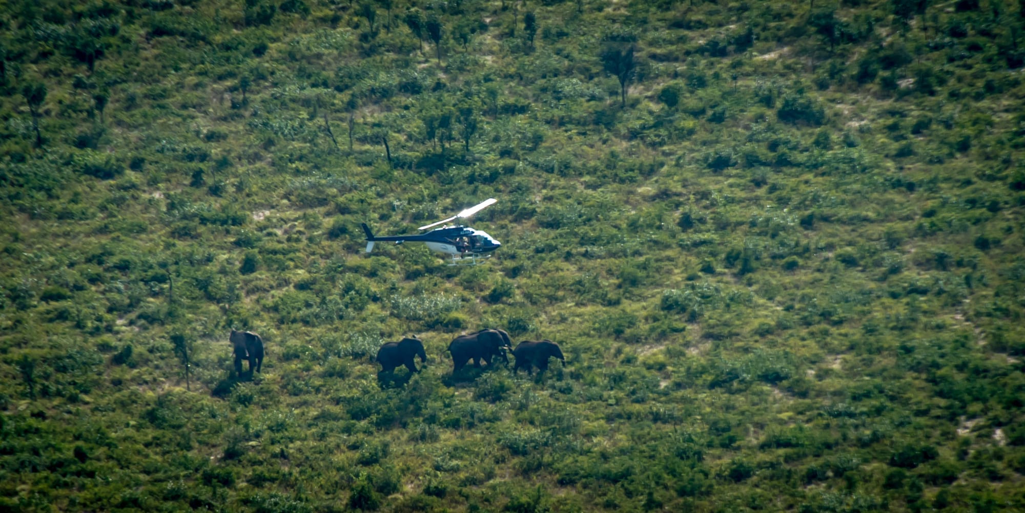
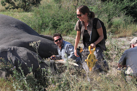
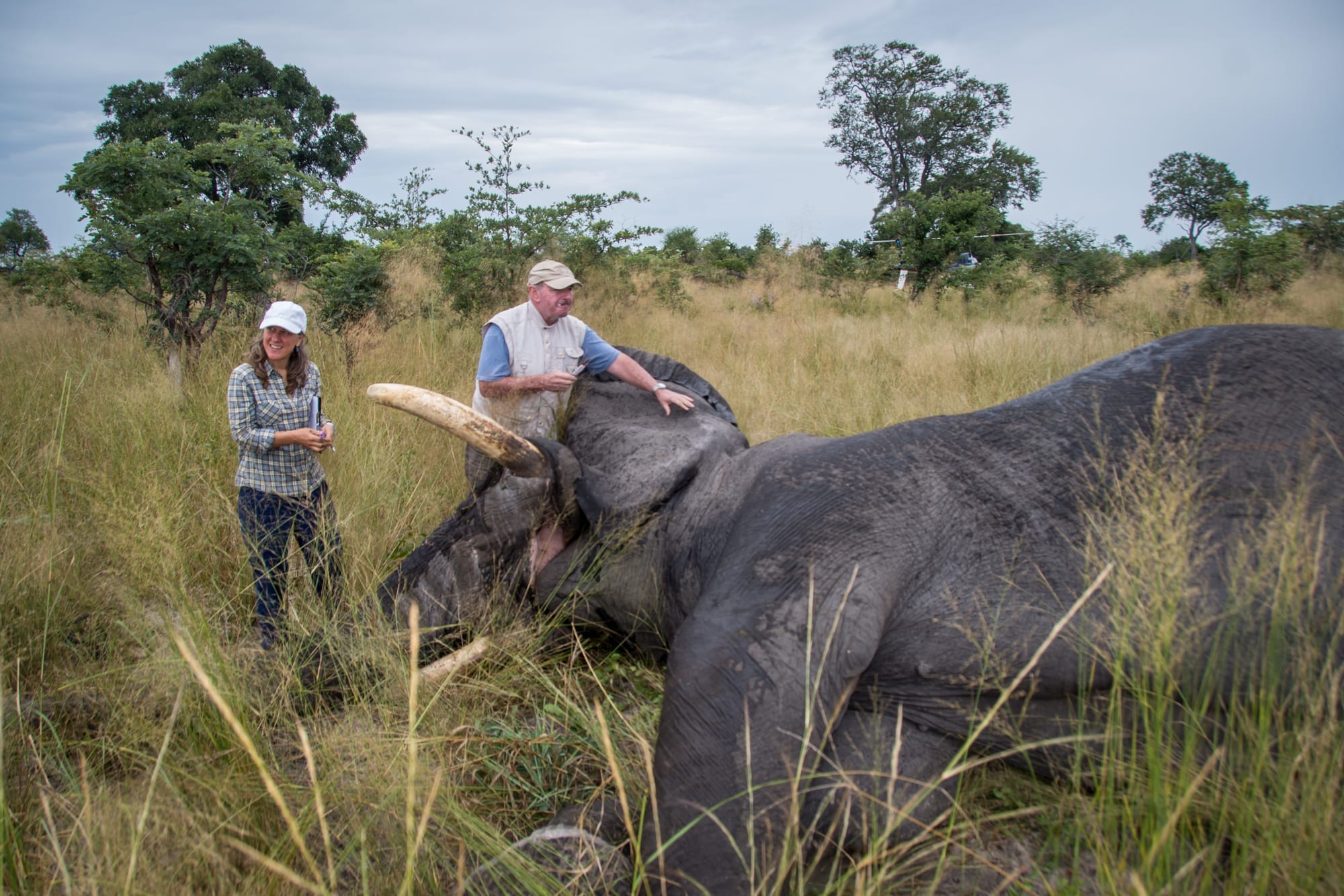
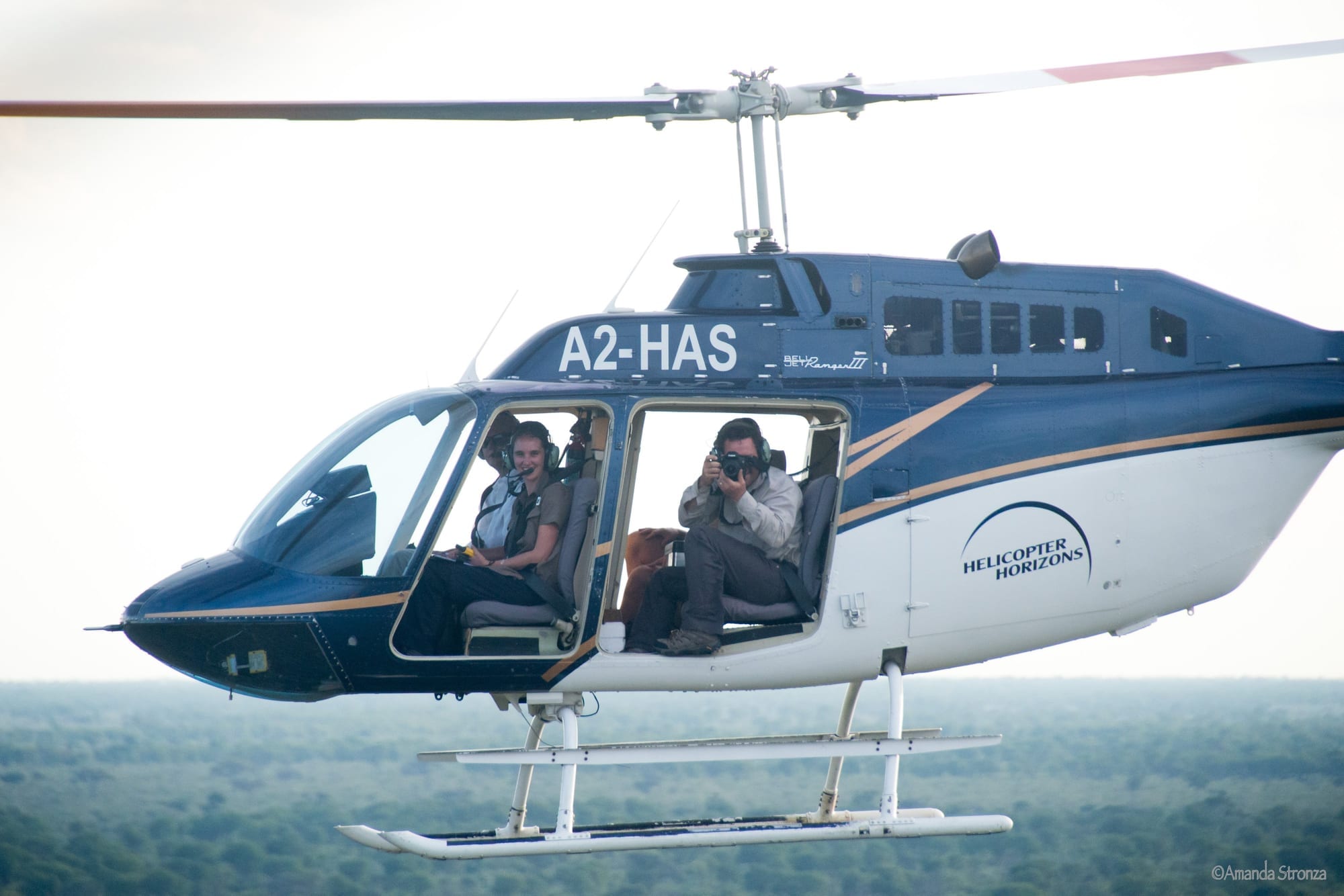
In 2014, we collared 28 elephants and began tracking their movements throughout the Panhandle, both on east and west sides and in border areas. Using the data we already have on elephant pathways, we worked with USAID’s Southern African Regional Environment Programme (SAREP) and Botswana’s Tawana Land Board to help build what’s called a “Land Use Conflict Information System” or LUCIS to the Panhandle. The LUCIS system is essentially a guide government officers, researchers, and communities can use to visualize, discuss, and plan for different kinds of land uses and needs in an area. Bringing data and ideas together for current and ideal land uses, it provides the way forward to identifying and demarcating zones. Once demarcated, the different zones can be monitored and reserved for different uses, both for people and elephants. By providing data and input to the LUCIS system, we can identify potential flashpoints of human-elephant conflicts and also help guard movement corridors for elephants and arable lands for farmers. This kind of land use planning that takes into account the needs and requirements of elephants and people in the same area is really the linchpin for our long-term success.